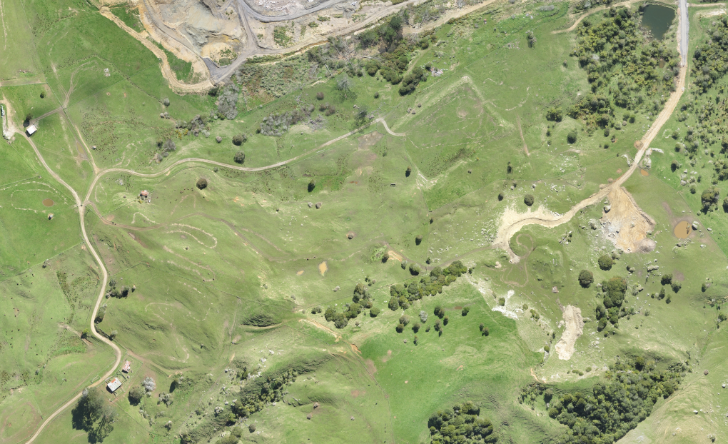
Aerial maps today are used in many different driving directions and online mapping services. These include Google Earth, MapQuest, Google Maps, and specialized apps to show the location of an array of features. Almost every online use for internet mapping is based on aerial maps and photographs. GIS (Geographic Information Systems) is a technology that utilizes sophisticated maps created with aerial mapping through satellites to give information about specific land and terrain features and that’s where survey aerial mapping comes in.
The imagery can be found in many different scales in both black and white and color formats. That helps to highlight an array of features depending on the particular application. Today there are so many geospatial and GIS aerial maps being used.
The Concept of Survey Aerial Mapping
Aerial mapping also plays a significant role in land surveying. Most of the earth has been imaged at altitude to create a map. However, most land surveying apps require a more detailed photograph of the land at a larger scale together with the collection of more precise data points.
Aerial maps for general apps are mostly created by using satellite imagery. Land surveying apps are usually undertaken using a helicopter or airplane.
Benefits of Aerial Mapping and Surveying Methods
The primary benefits of aerial methods of mapping and surveying are unobtrusive and don’t require setting foot on real terrain. That’s advantageous in situations with limited access to the various terrains, including areas with steep slopes.

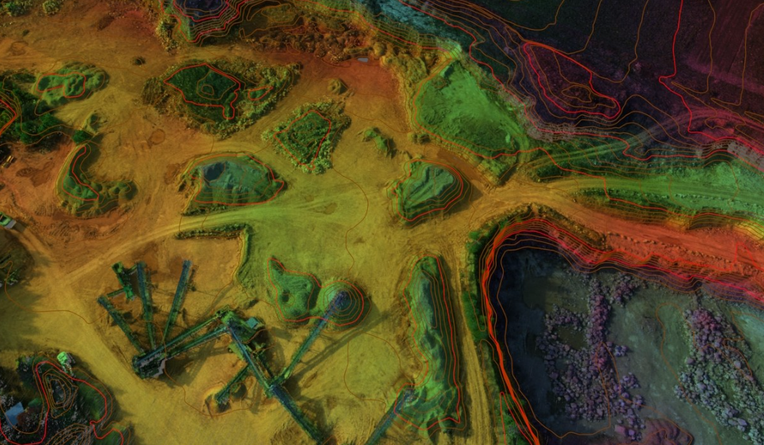
It’s also good to note that aerial surveys involve creating 3D aerial mapping through precise measurements of location and elevation. In comparison to aerial photography, which doesn’t have the same level of data or detail, 3D models can be created with the help of aerial photos.
Common Aerial Surveying Technique
The most popular aerial surveying technique is LiDAR. It utilizes laser beams in creating a 3-D image or map of the land. When LiDAR is combined with GPS equipment, it collects information about location and elevation that can be transformed into a topographical map.
The data can be utilized in a wide range of apps, from creating topographical maps to flying through simulations. This 3-D mapping system is very popular among planners, engineers, GS professionals, mapping technicians, and surveyors. In contrast to similar techniques for 3D information gathering, it’s very accurate, cost-effective, and relatively fast.
Conclusion
Survey aerial mapping has been made possible with the help of technology. You can get aerial mapping services from companies that specialize in them. For further information visit this website!

